

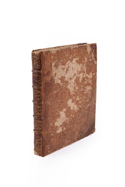
Lot n° 115
Estimation :
400 - 500
EUR
PREVOST. BELLIN. - Lot 115
PREVOST. BELLIN.
Atlas of Maps from the *General History of Voyages*.
Paris, (1748).
Quarto, 72 of 73 maps, contemporary half-basane with corner pieces, ribbed spine, gilt title (binding rubbed, cap bands torn off, one map detached with a small loss, the first map oxidized and restored, minor marginal defects).
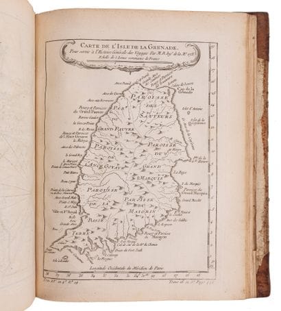
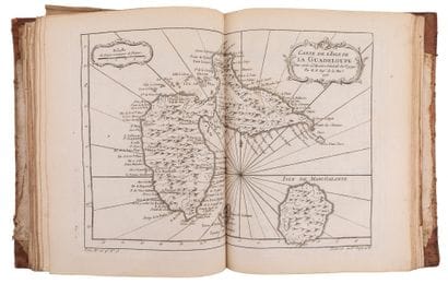
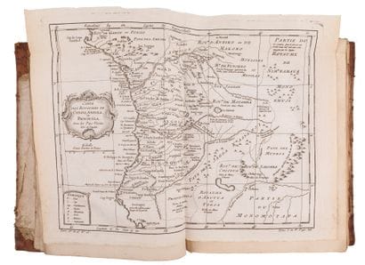
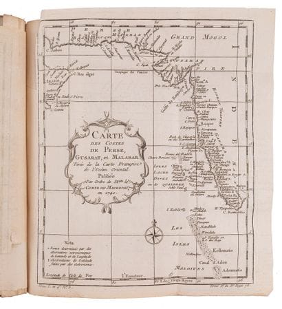
Atlas of maps accompanying Prévost’s “Voyages.” Maps by Maurepas, Bellin, and Cook. Numerous double-page and fold-out maps, with a few single-page maps.
72 copperplate engravings in black (out of 73), including numerous fold-out or double-page maps.
Notably complete with the large map titled *Essay D’Une Carte Reduite Contenant Les Parties Conneuees Du Globe Terrestre Dedie a M. Le Comte De Maurepas*: From the Australian perspective, this is an important French world map, engraved and hand-colored, depicting the hypothetical eastern coast of Australia; it popularized Bellin’s work and shows Tasman’s discoveries along the west coast of New Zealand. The map erroneously connects New Guinea to the Land of the Holy Spirit, an error corrected by Cook’s voyage some twenty years later. North America is depicted with the Great Lakes connected to the west coast by a vast river. It features a large title cartouche adorned with a coat of arms flanked by eagles; there are also two compass roses (north and south).
My orders
Sale information
Sales conditions
Return to catalogue